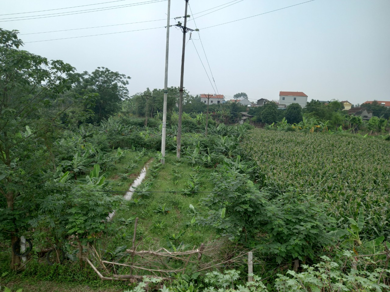
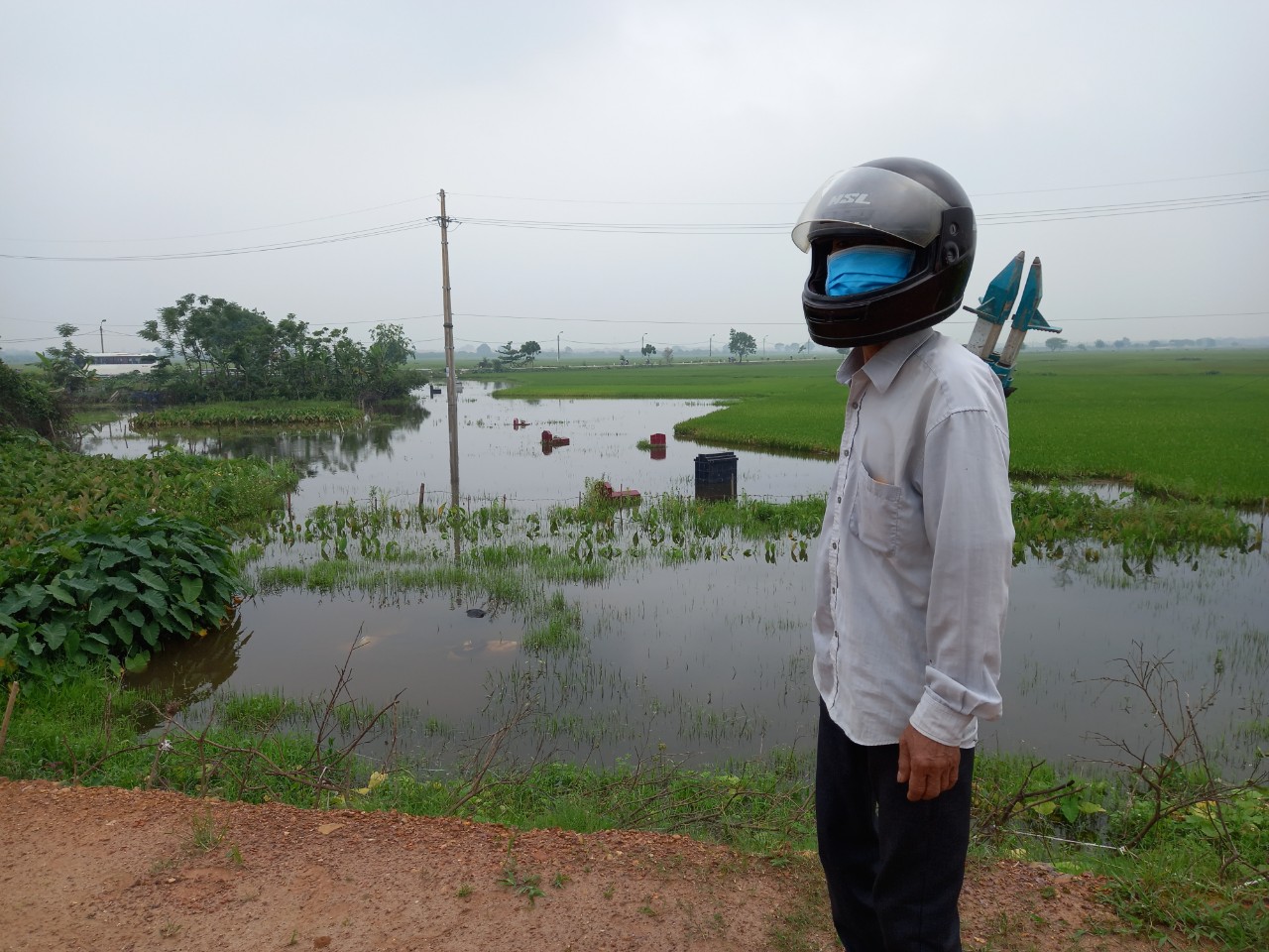
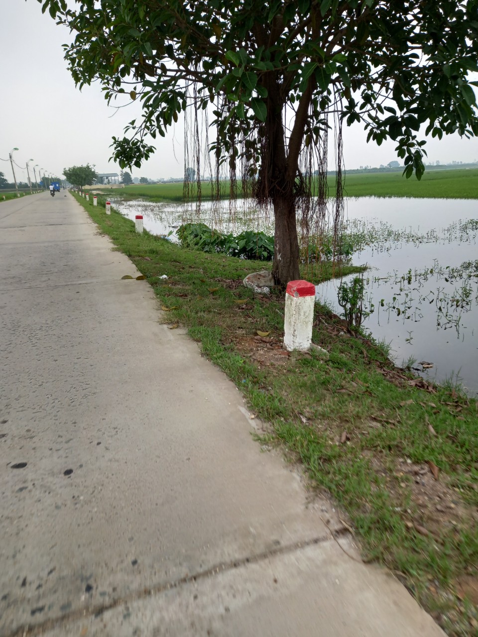
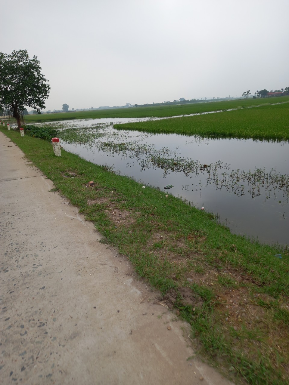
Scope of Work:
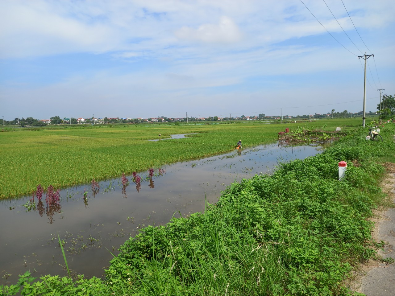
- Conduct a 1/1000 scale topographic survey of the traffic alignment for Route Option 1, covering a length of 9.6 km.
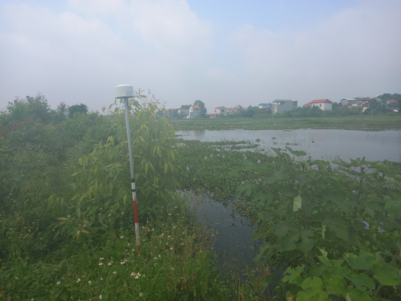
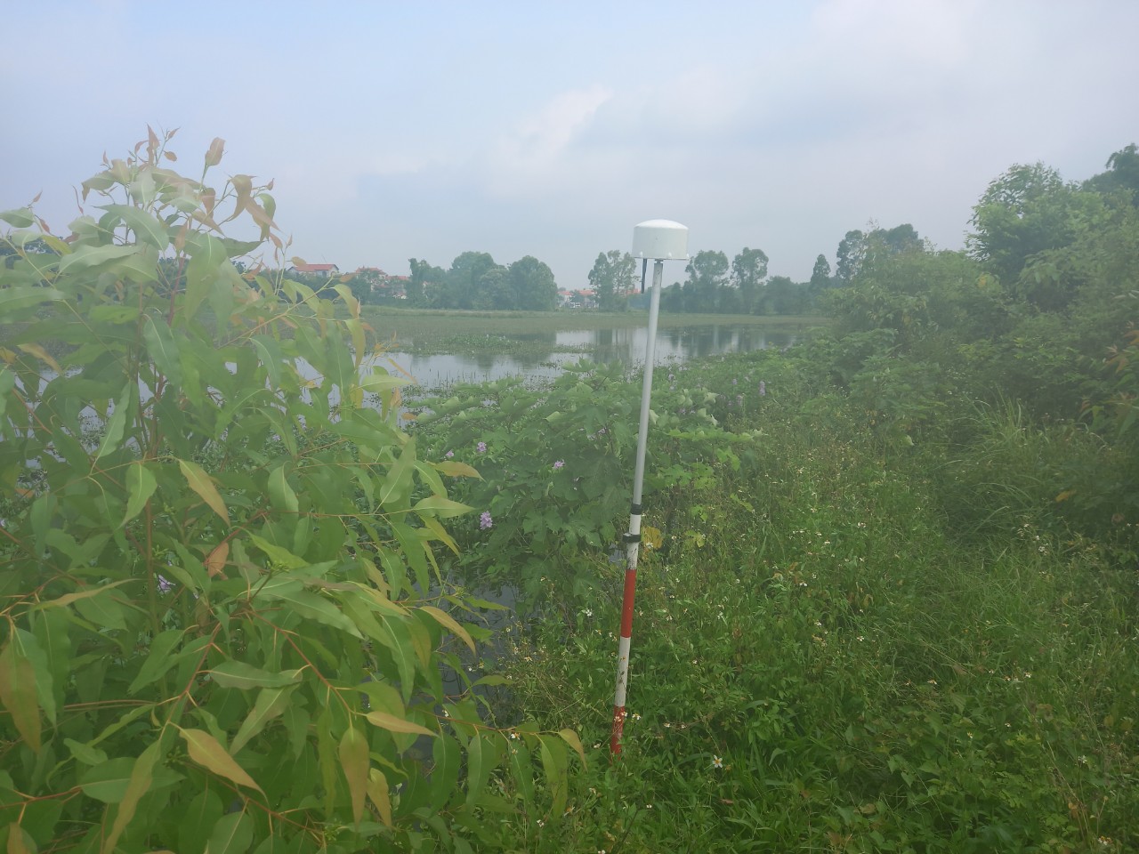
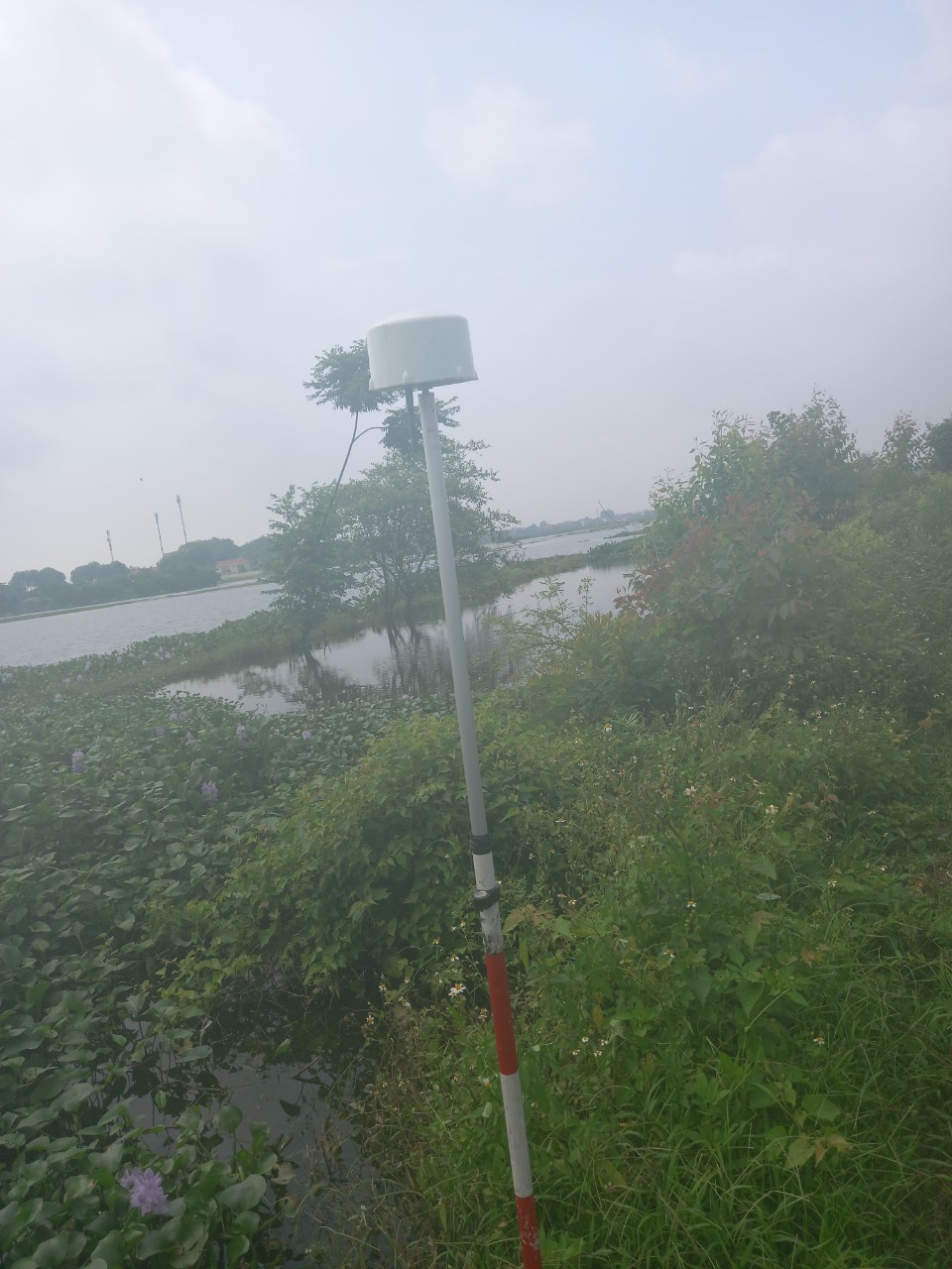
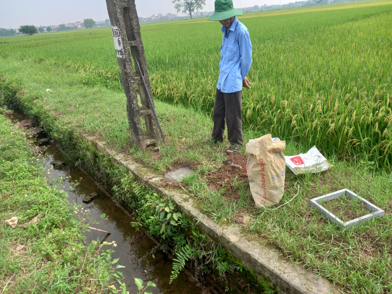
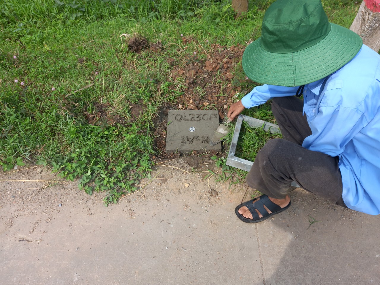
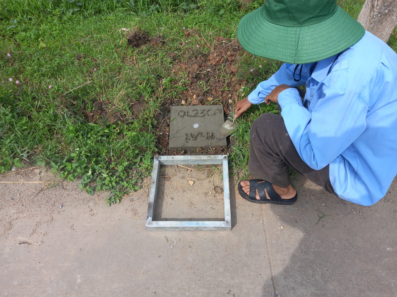
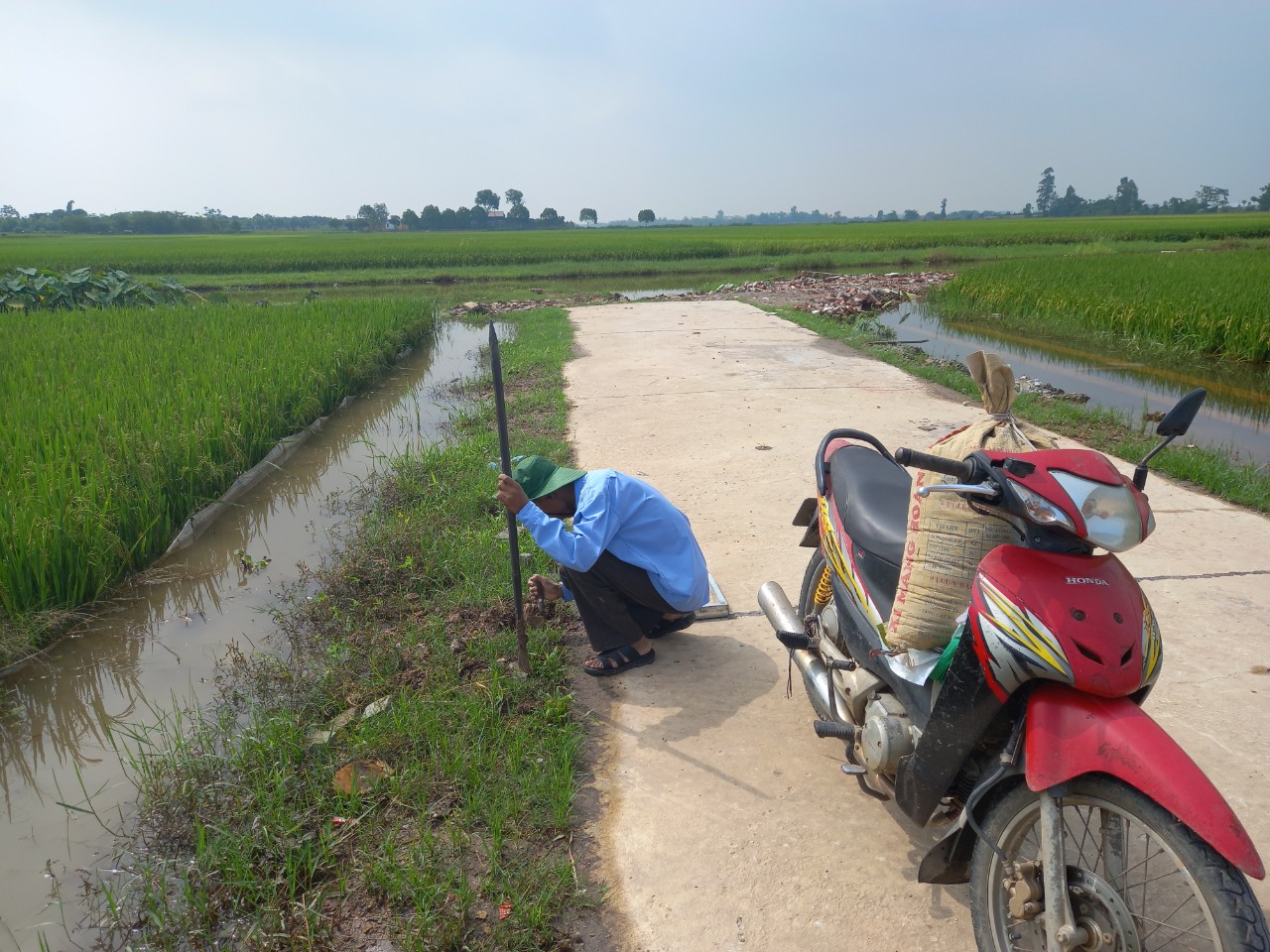
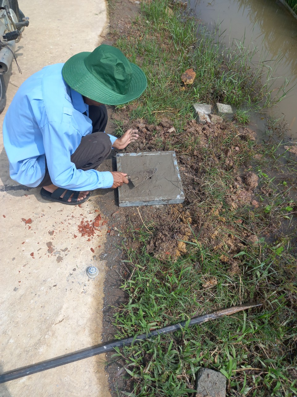
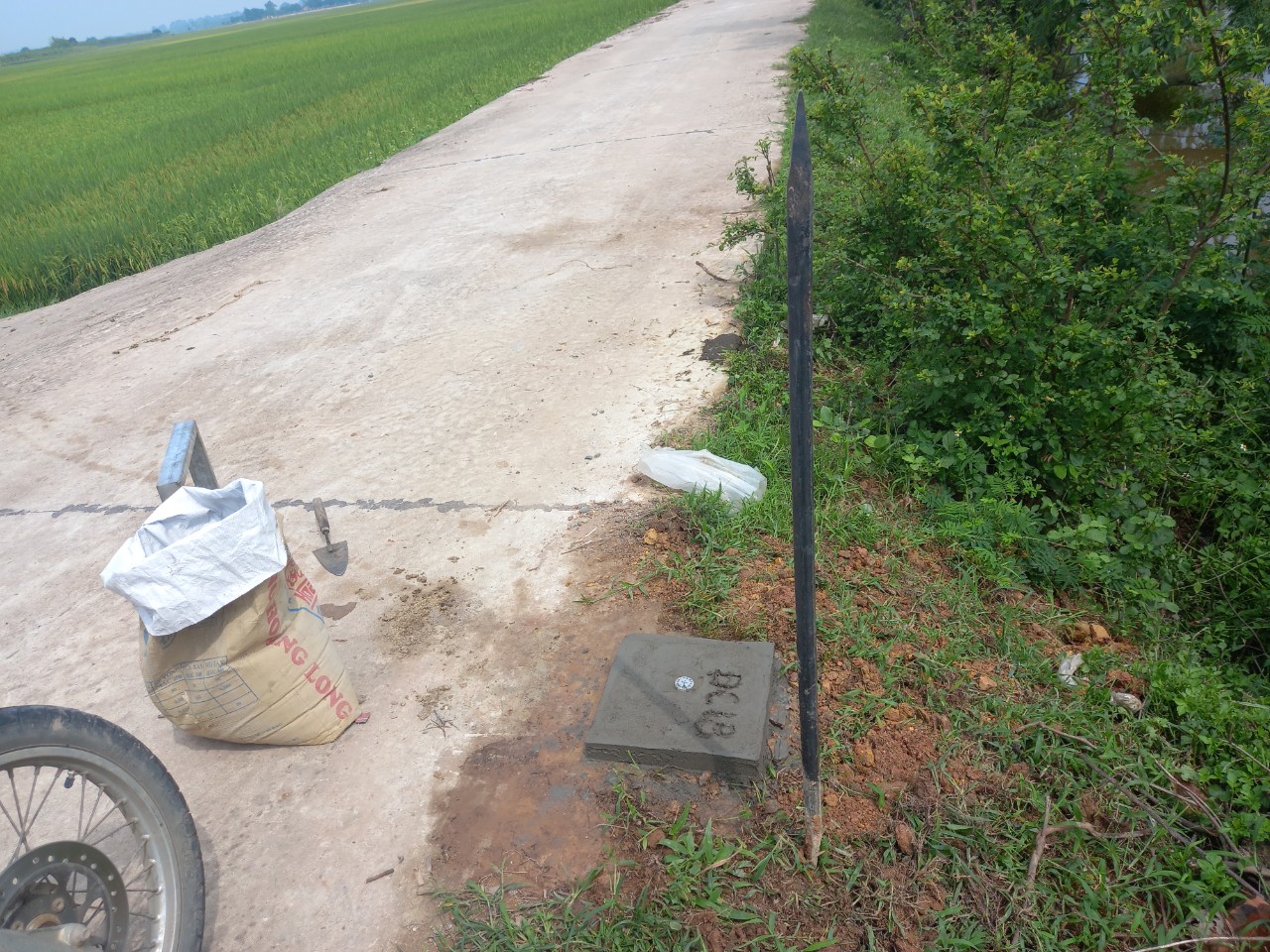
- Establish a control network and perform a 1/1000 scale topographic survey of the traffic alignment, including intersections and bridge layouts along a 6.2 km section (from km 3+600 to the left dyke of the Red River).
- Carry out longitudinal and cross-sectional surveys over a 6.2 km stretch.
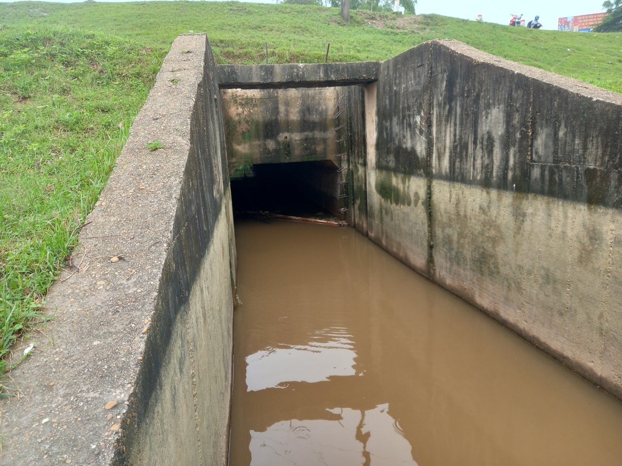
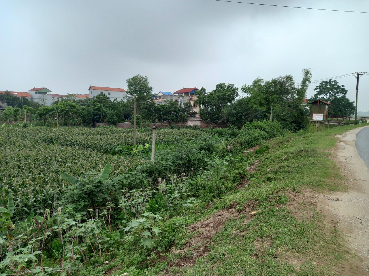
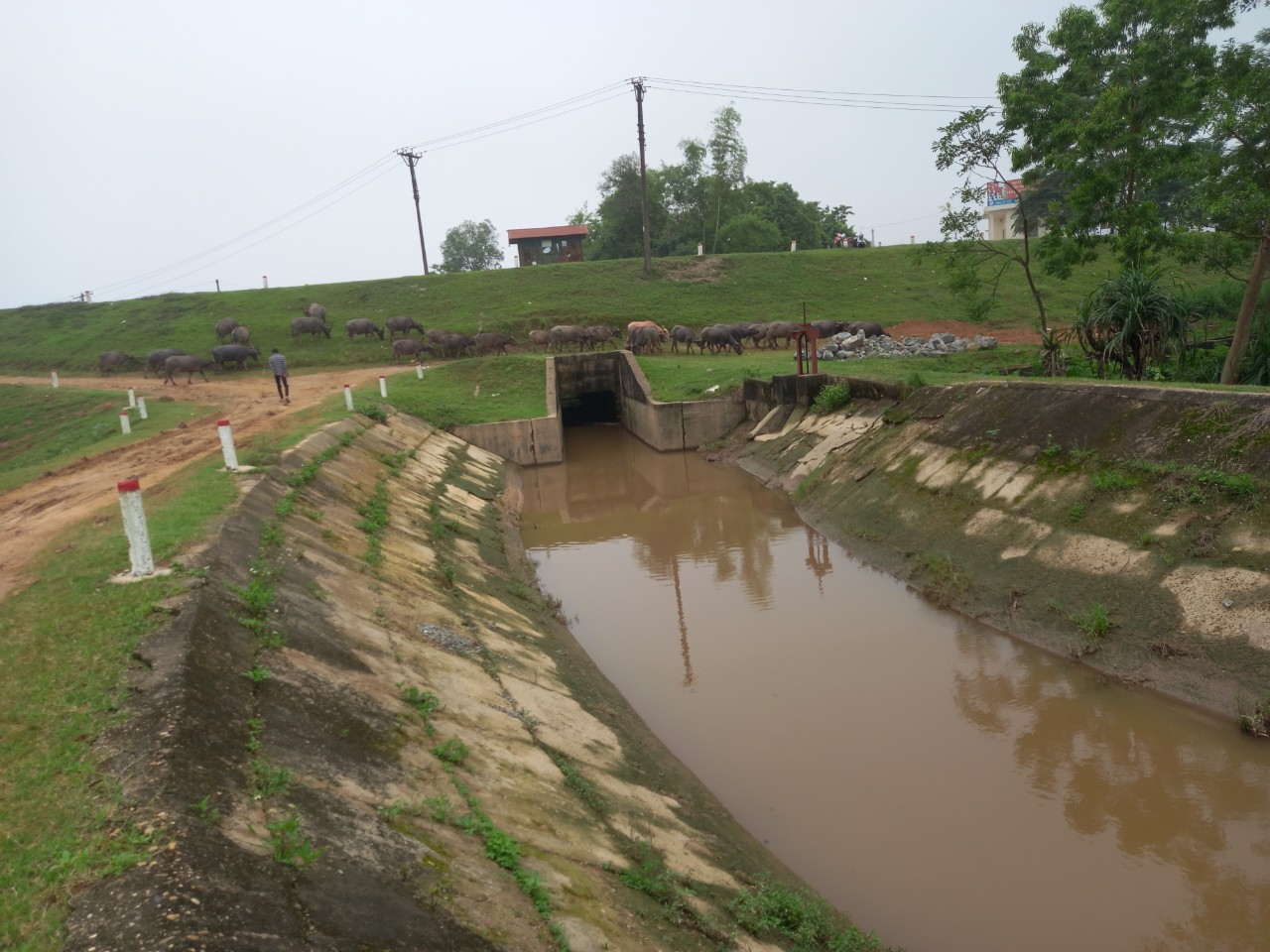
- Investigate underground and aboveground technical infrastructure, as well as survey material disposal sites and material sources for the project