- Tất cả dự án
- Planning projects
- Investment consulting
- Architectural works
- Smart city management
- Infrastructure projects
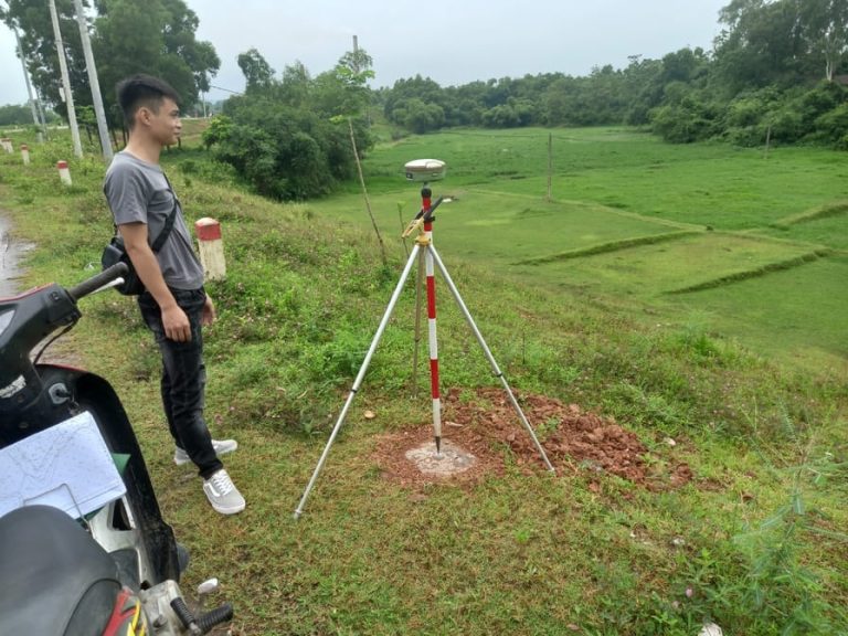
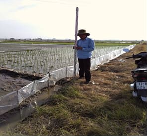
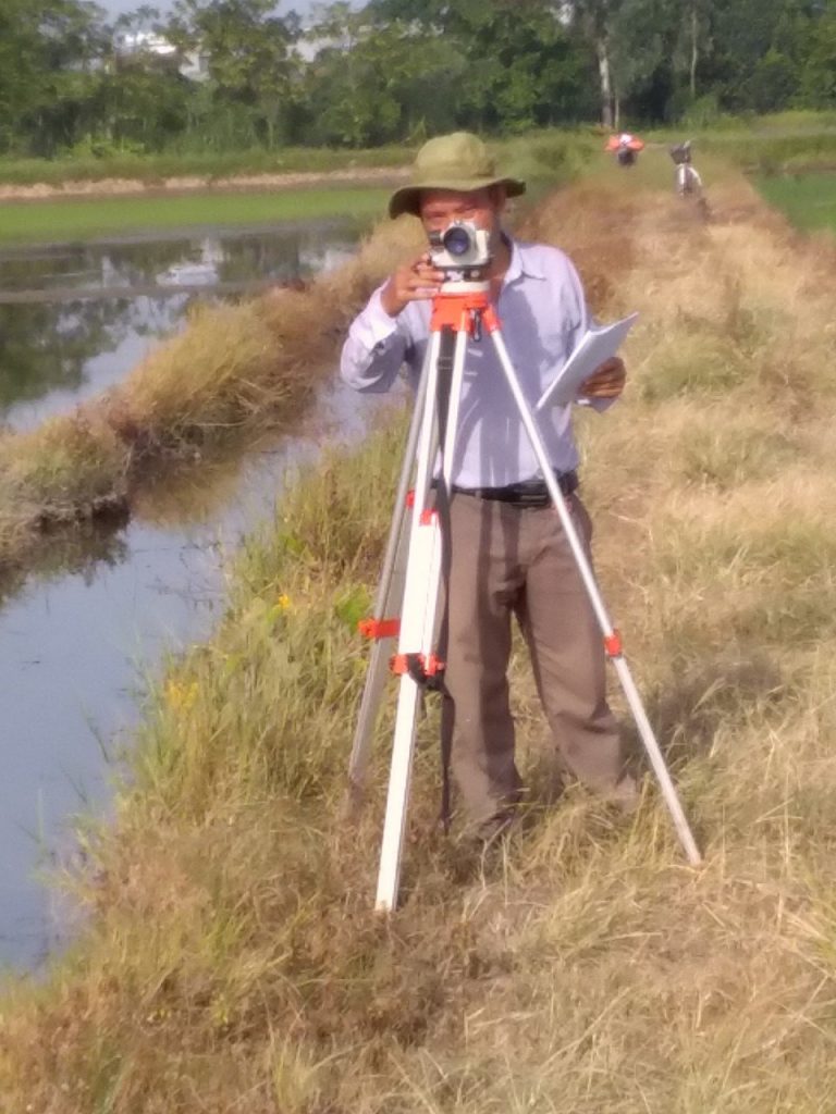
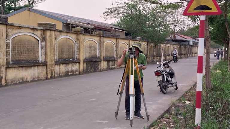
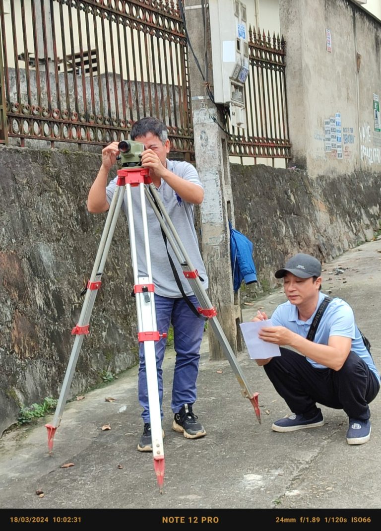
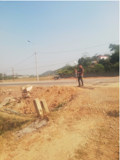
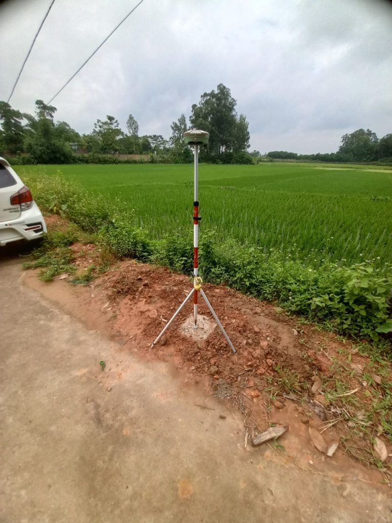
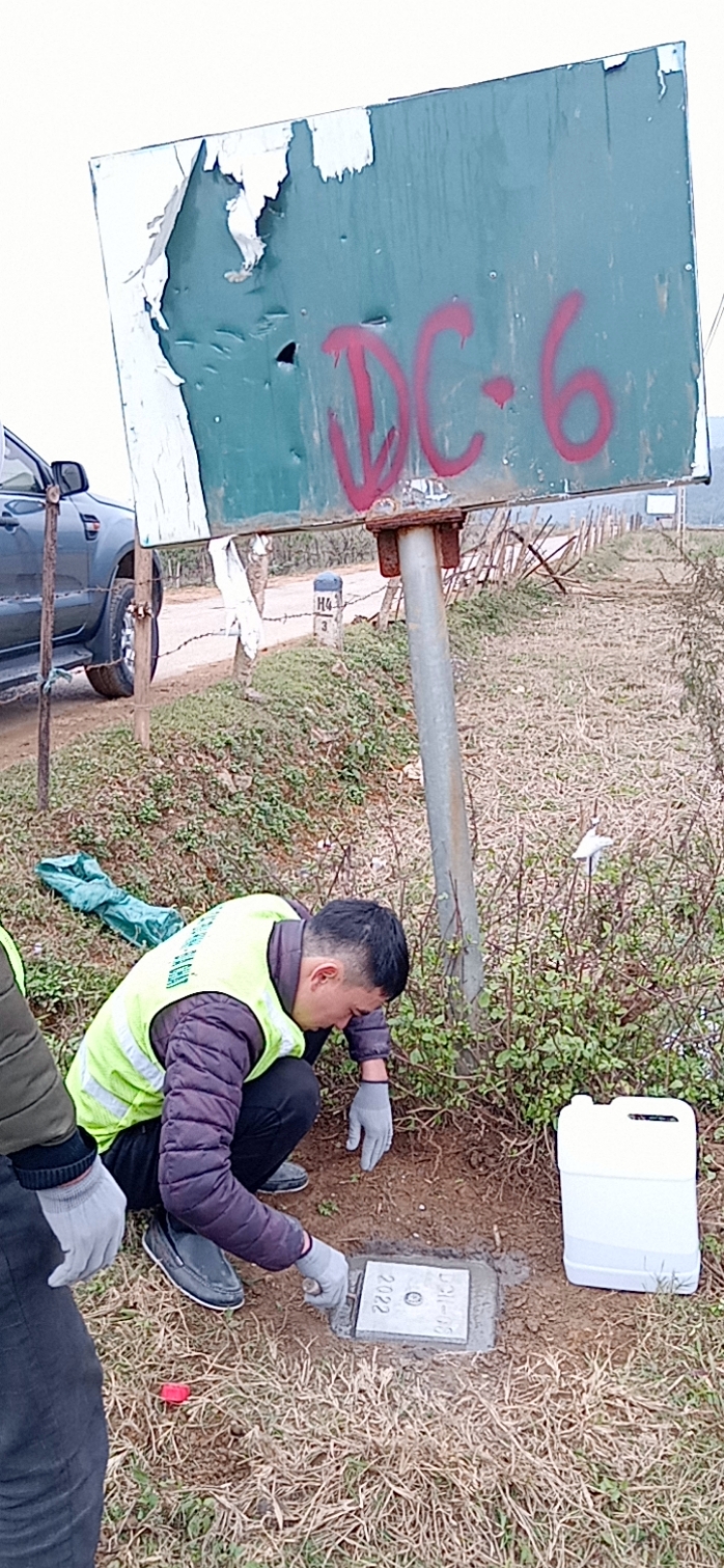
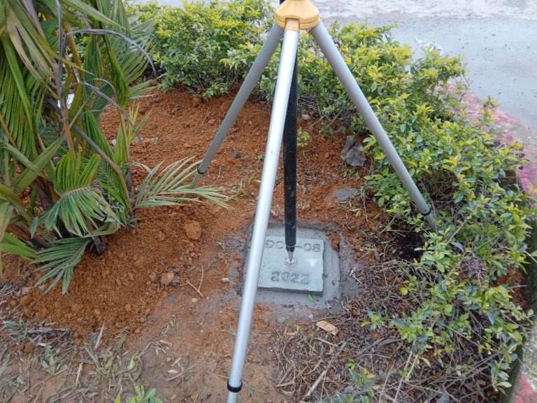
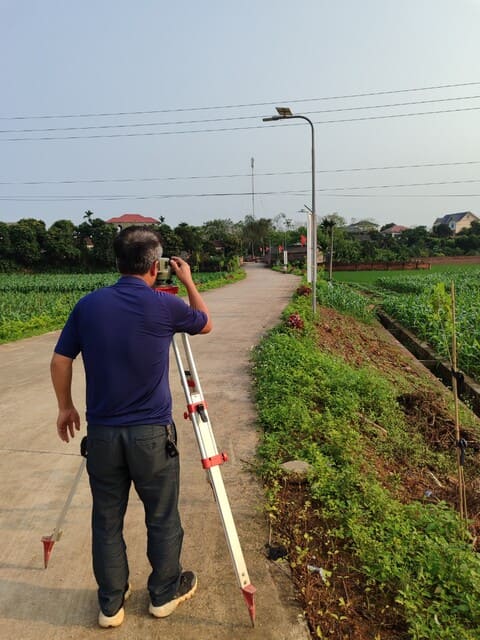
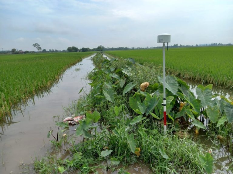
- Topographic and geological surveys
Geological survey consulting and preparation of a 1/500 scale topographic survey report for Sông Khoai Project: Sông Khoai Industrial Park (phases 2, 3, 4, 5).
Location: Quảng Yên Town, Quảng Ninh Province, Vietnam Phases: 2, 3, 4, 5
Consulting for topographic survey documentation for the Nomura Hai Phong Industrial Zone Infrastructure Construction and Business Investment Project (Phase 2).
Investor: Hai Phong International Kcn Joint Stock Company
Topographic survey at 1/2000 scale for communes under the New Rural Development Plan of Me Linh District: Chu Phan, Thanh Lam, Lien Mac, Tu Lap, Tien Thang, Dai Thinh, and Tien Phong.
Investor: Me Linh District People’s Committee
Survey of topography for the new urban area to the west of Doi Ngo Town, Luc Nam, at Chu Dien Commune, Doi Ngo Town, Luc Nam District, Bac Giang Province
Investor: Hawee Park Land Joint Stock Company
Topographic survey for the North Cao Thuong town expansion project in Chieng and Chung villages, Lien Son commune, Tan Yen district, Bac Giang province.
Investor: Hawee Park Land Joint Stock Company
Survey of topography, marking landmarks at a 1/2000 scale for Chieng Sinh urban area, Son La city, Son La province
Investor: Department of Construction of Son La Province
Topographic survey and boundary staking for the 1/10,000 scale map of Van Ho Urban Area, Son La Province.
Investor: Department of Construction, Son La Province
Topographic Survey and Boundary Marking at a 1/5000 Scale for Phong Chau Town and Surrounding Areas, Phu Ninh District
Investor: Department of Economic and Infrastructure – Phu Ninh District
Topographic survey for the basic design phase of the project: Construction of the road connecting Route 23B to Chu Phan Port, Mê Linh District.
Scope of Work: Conduct a 1/1000 scale topographic survey of the traffic alignment for Route Option 1, covering a length of 9.6 km. Establish a control network and perform a 1/1000 scale topographic survey of the traffic alignment, including intersections and bridge layouts along a 6.2 km section (from km 3+600 to the left dyke […]