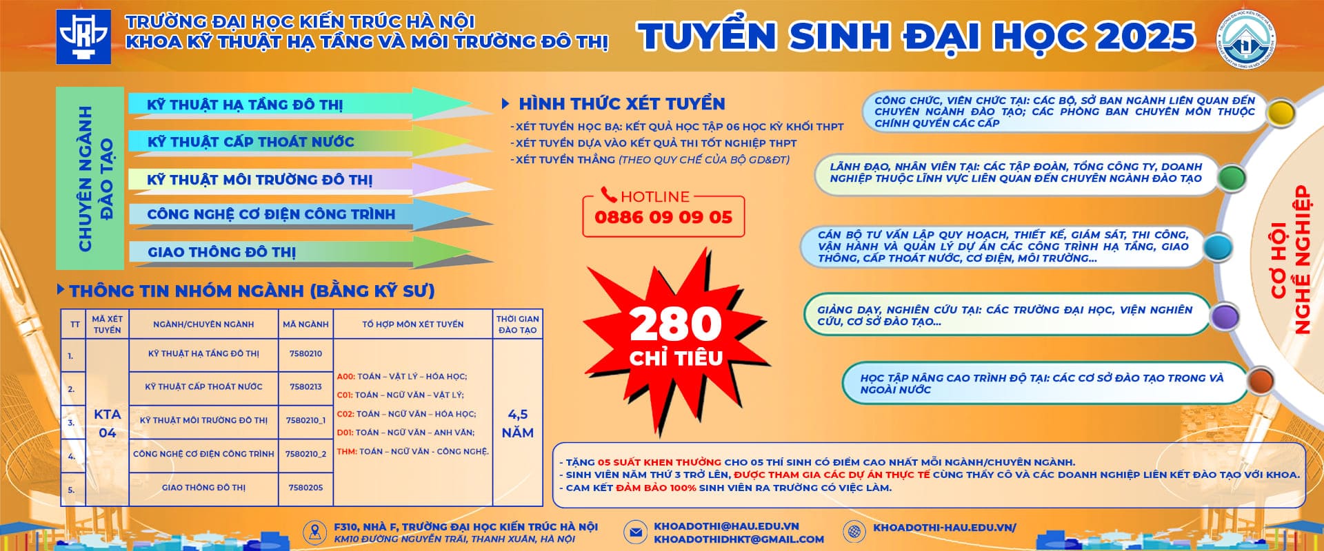
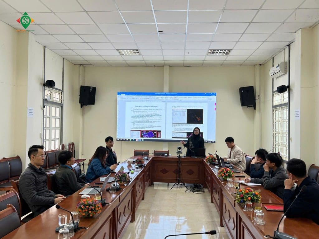
Recently, the Institute of Science and Technology of Construction (AIST), in collaboration with the Son La Department of Construction, organized a training course on the digitization of planning databases (GIS) for the department’s officials and specialists.
During this training session, officials and specialists from the Son La Department of Construction were guided on the basic usage of GIS software to explore, search, and retrieve planning information. Additionally, AIST experts provided instructions on system administration and the operation of the software’s subsystems.
GIS (Geographic Information Systems) is a tool designed to manage urban databases in the form of map layers (urban planning, technical infrastructure, housing, etc.), integrated with the national geographic database under the national reference and coordinate system.
The training session was a collaboration between the Son La Department of Construction and the Institute of Science and Technology of Construction (AIST).
This software has the advantage of quickly and easily updating spatial information. Additionally, it effectively integrates multiple datasets into a combined database.
With GIS technology, users can link attribute data to their geographic locations (coordinates, longitude, and latitude) through digital maps. This process helps consolidate scattered information and visualize spatial data on maps.
Currently, GIS is widely applied in various fields such as environment, meteorology, financial services, healthcare, and especially in land management.

AIST specialists guided officials from the Son La Department of Construction during the training session.
Local authorities can utilize GIS for land search and management, as well as for operating smart urban management systems, replacing traditional paper-based records.
This outstanding advantage has been applied and developed by S-GROUP and its member units to provide planning management database construction packages and online planning information services on the GIS platform across various provinces and cities.
When combined with VR360, GIS becomes a highly effective solution for promoting and showcasing projects, restaurant chains, and hotels to businesses and partners.